Improving selected wetlands in the Danube’s left-bank side-arm system – reconstruction of weir G1 on line G
Restoring the water regime in the Danube’s left-bank side-arm system.
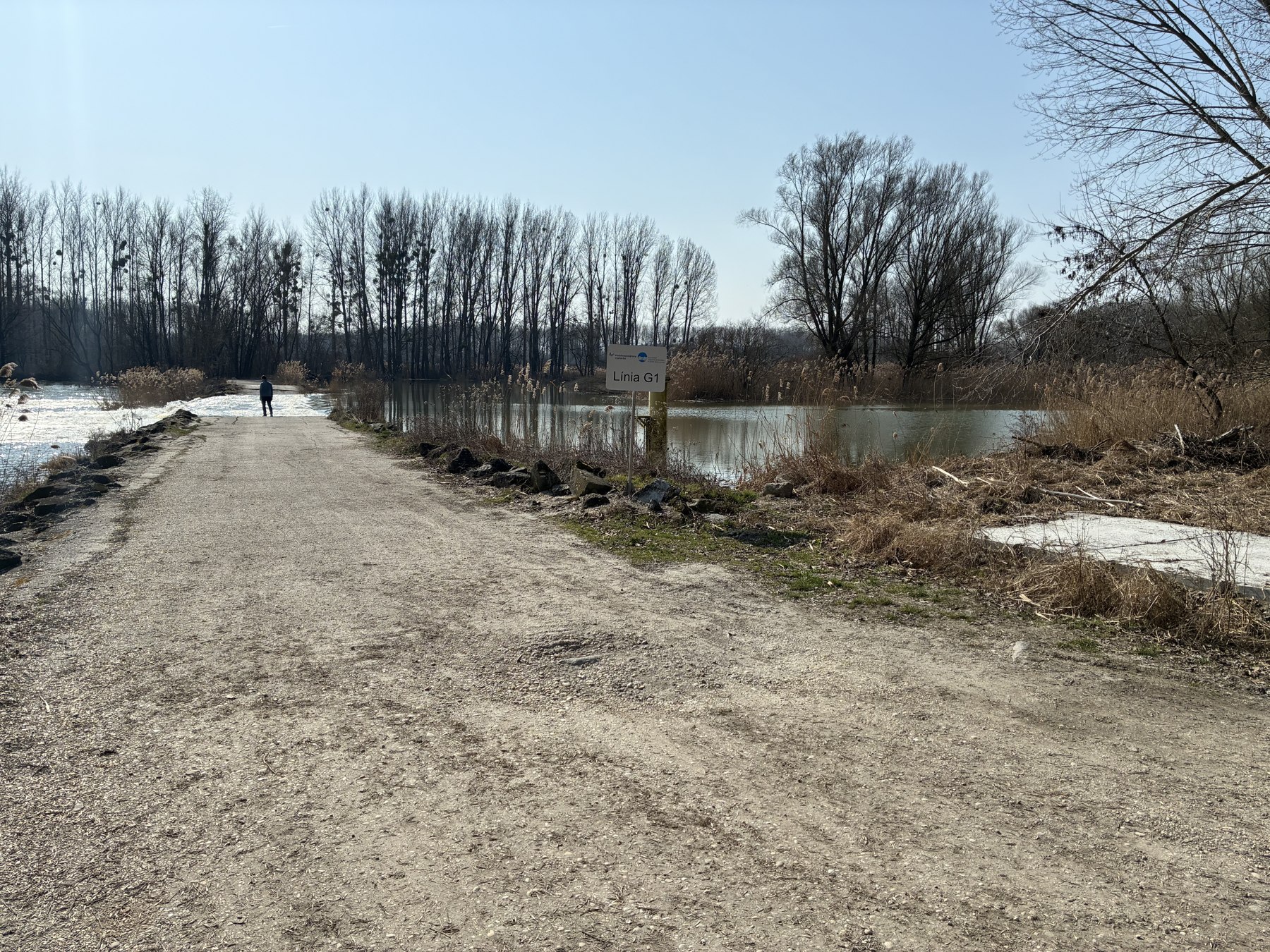
Reconstruction of weir G1 on line G is being prepared in the cadastral area of Bodíky, around the Bačianske side arm. It forms part of an initiative to improve selected wetlands and hydrological connectivity within the Danube side-arm system.
Four interdependent structures
The project comprises a regulating culvert, a culvert serving the spillway, a spillway and island, and raising the weir crest. Together, they are intended to improve the distribution and movement of water and create a more varied aquatic environment.
Water and the natural environment
The technical design is closely linked to the operation of the side-arm system. Flow, water levels, shallows and bays, passage for aquatic life and conservation of the area’s natural values are central considerations.
Preparation requirements
The relationship between structures, management of construction materials and scheduling according to water levels are decisive. Preparation includes aligning the design, budget and conservation conditions; this page does not present a completed reconstruction.